Mobile mapping (MM) solutions represent an innovative and effective approach for acquiring geospatial information. While outdoor MM solutions are already well established, mapping large-scale indoor or underground environments with high surface complexity, detail and possibly low ambient light is still a demanding task and a variety of technological solutions start to emerge. In this contribution, we compare three such solutions empirically with respect to data quality, properties of the derived 3D models, and usability.
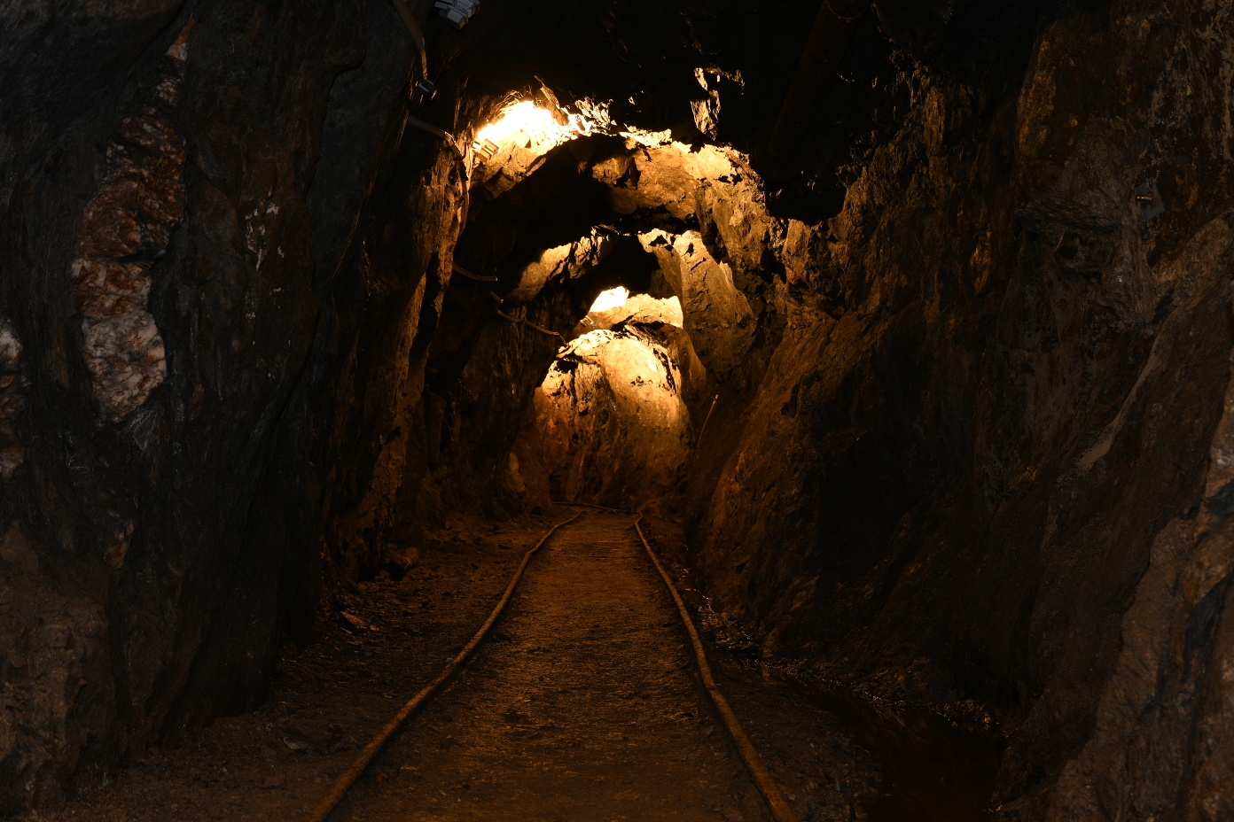
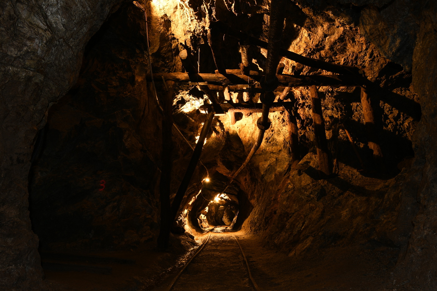
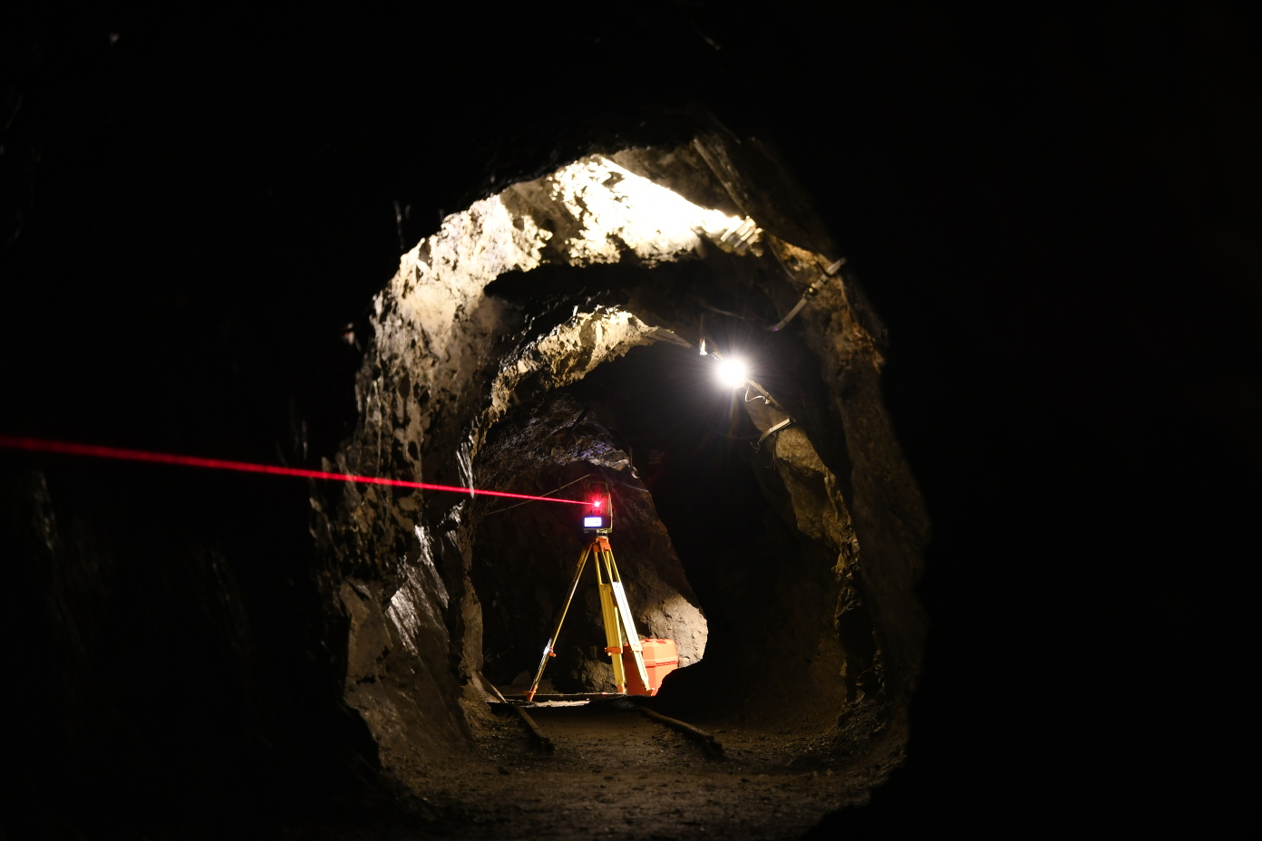
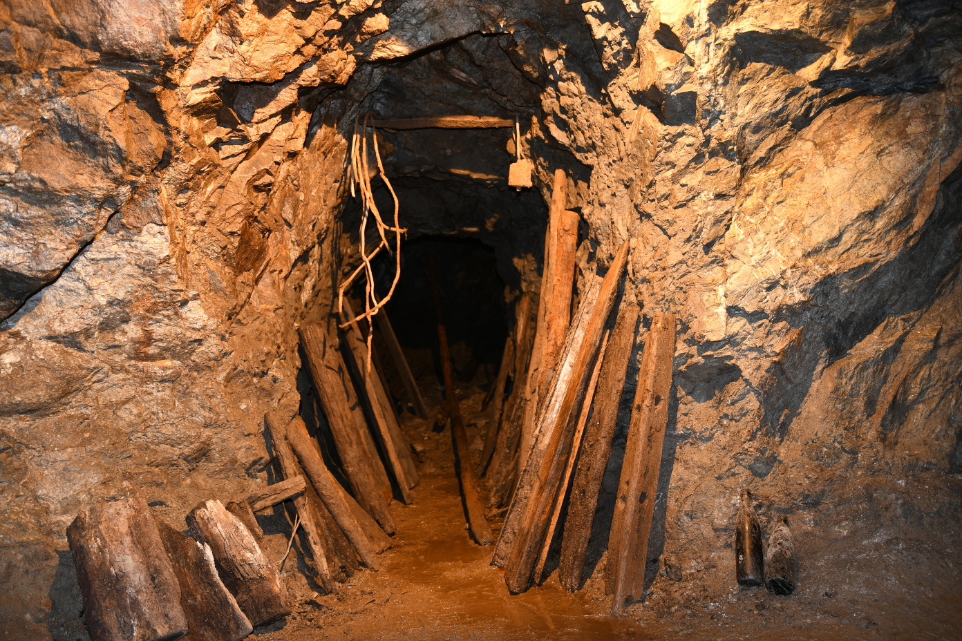
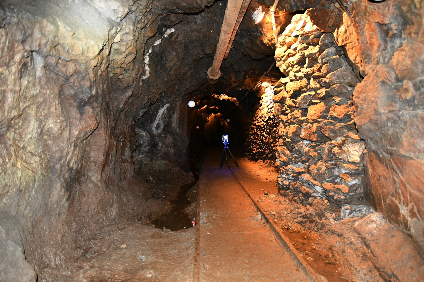
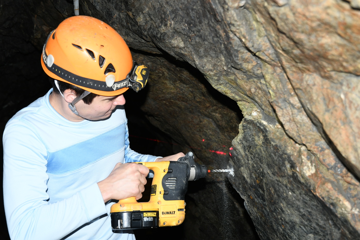
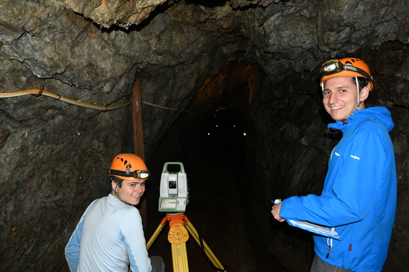
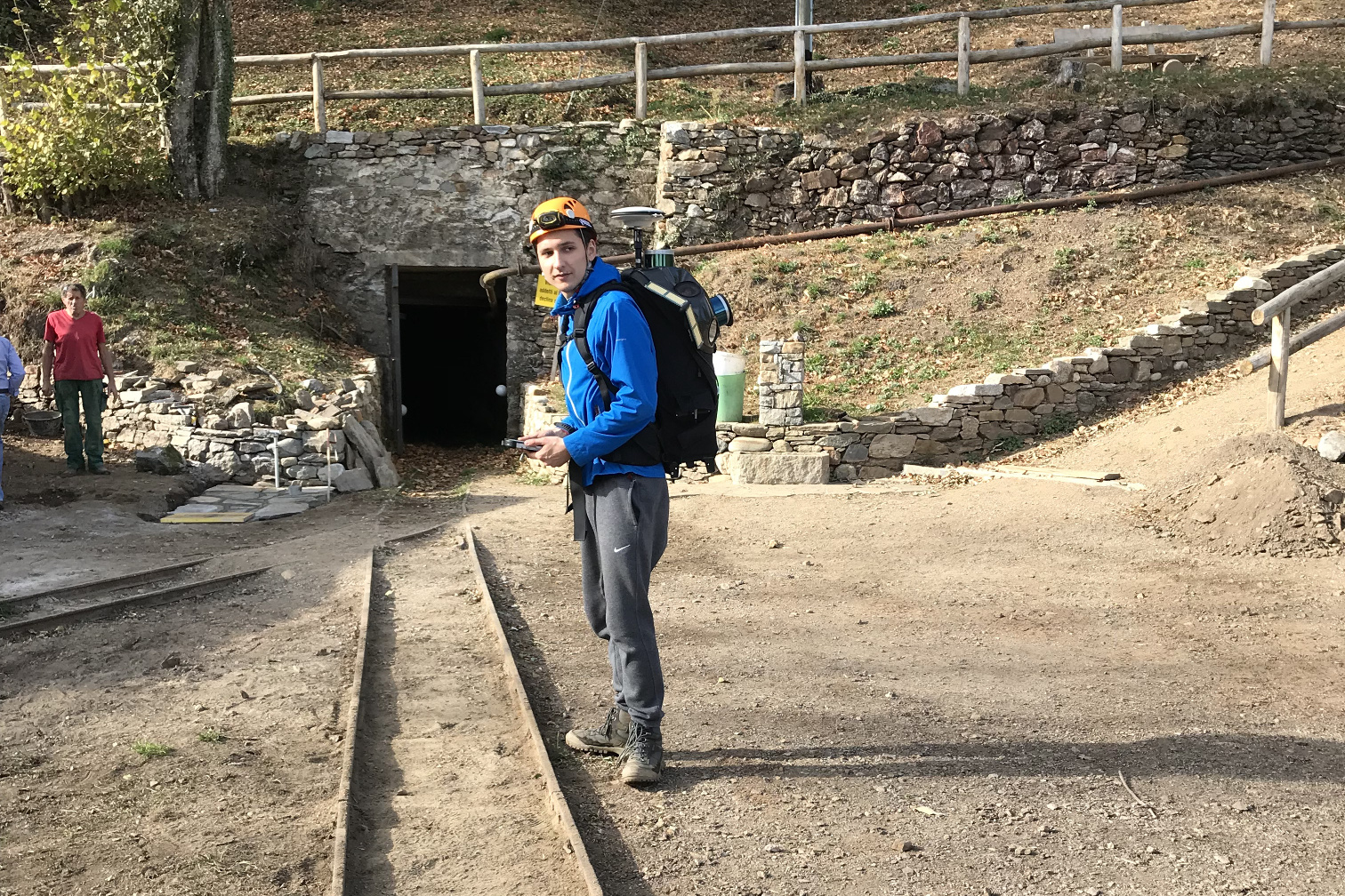
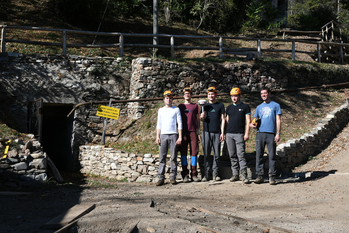
The analysis is based on data collected in a former gold mine using three different techniques. A FARO Focus3D X330 was used to capture approximately 350 metres of underground galleries employing terrestrial laser scanning (TLS). About 120 scans were taken within two days to cover the entire space. Additionally, the same space was mapped independently using two commercial MM systems suitable for indoor applications, namely a GeoSLAM ZEB-REVO handheld scanner and a Leica Pegasus Backpack MM system. Each of them required less than 20 minutes for acquiring the galleries in a single walkthrough. A geodetic terrestrial network was established within the mine. Spherical targets placed in the scene and connected to that network were used as a reference for the evaluation of the quality of the point clouds, in particular with respect to non-linear drift. Additionally, cloud-to-cloud and cloud-to-mesh comparisons were carried out to directly compare the point clouds. A 3D surface model was generated and visualised in a virtual reality (VR) environment using the HTC Vive headset. It was extended by fusing the model of the galleries with a digital terrain model (DTM) and geological maps in the virtual environment.
This point cloud was acquired by the Leica Pegasus:Backpack. To visualize it Potree is used. The point cloud contains approx. 26 million points.
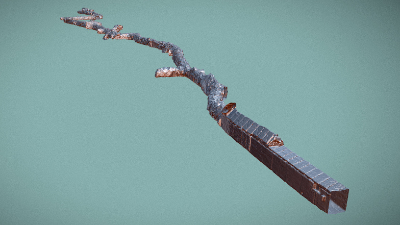
This mesh was created out of a point cloud acquired by the FARO Focus3D X330. In order to generate this mesh and upload it to this platform the original point cloud (approx. 300 million points) had to be downsampled to approx. 2 million points (due size limitations).
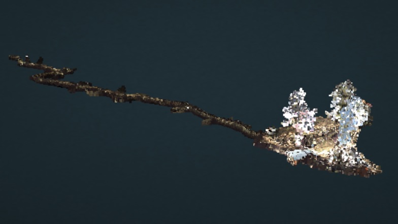
This mesh represents a part of the gold mine. It is created out of a point cloud acquired using the GeoSLAM ZEB-REVO. To show the mesh Blend4Web platform is used. The point cloud had to be downsampled from approx. 6.5 million points to 800'000 point in order to properly handled by the website.
| Students | Supervisors |
|---|---|
| Valens Frangez | Prof. Dr. Andreas Wieser |
| Florian Hübscher | Eugenio Serantoni |
| Benjmian Kramis | Zan Gojcic |
| Andreas Baumann |
Our group would like to thanks everyone who helped to execute this interdisciplinary master project. Especially, we would like to thank: