A High Accuracy and High Resolution 3D model of the Chapel of Saint John
Summary
The main goal was to obtain a complete 3D model of the Chapel of the Holy Cross, both inside and outside in high accuracy and high resolution.
This was realised by using various geodetic techniques and technologies in both complimentary and comparative manner.
A combination of stereo photogrammetry, terrestrial laser scanning and SLAM processes were used to generate point clouds of the Chapel.
After the initial acquisition, several dedicated software were used to process the data and render the final results.
Ultimately, the final models were delivered to the custodian archaeologists who are in charge of preservation and further historical investigations.
View in Full Screen
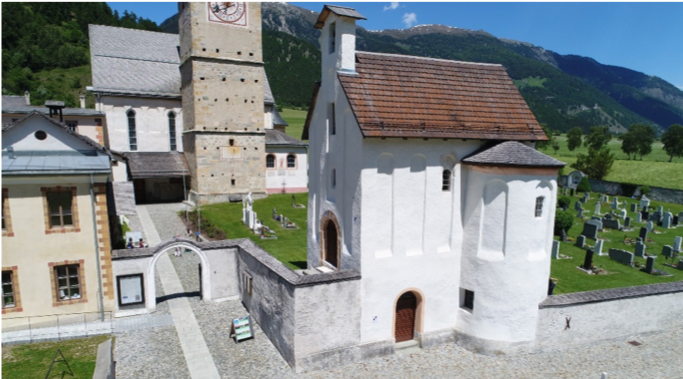
The Chapel is part of the Abbey of Saint John. The convent, previously also a monastery, is part of a monastic Catholic religious order of nuns that follow the Rule of Saint Benedict. It is located in the Swiss municipality of Val Mustair, Canton Graubenden and has been a UNESCO World Heritage Site since 1983.
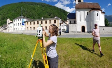
To combine the resulting 3D models with respect to each other and to transform it to to the Swiss National Reference System, a closed traverse was established.
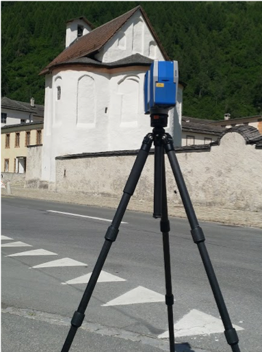
The Faro scanner at work. Three different laser scanners were used, namely Faro, Z&F and BLK.
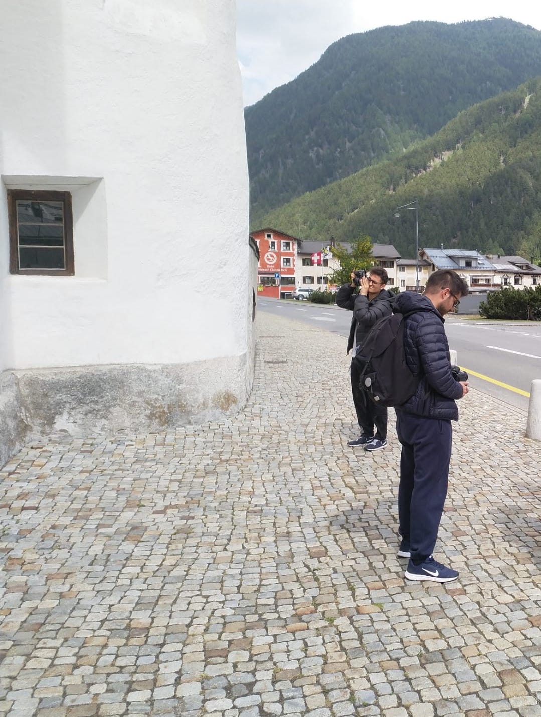
Acquiring pictures for photogrammetry task. The photogrammetric part was conducted using drones (roof), GoPro (ceiling) and Nikon cameras.
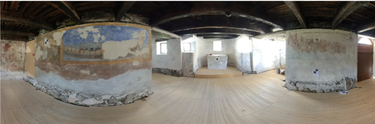
The obtained panoramic images inside the chapel. The final images were later used for virtual reality demonstrations.
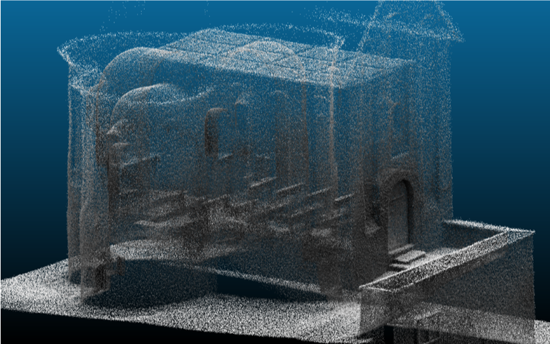
The obtained point cloud using GeoSLAM sensor. SLAM (simultaneous localization and mapping) algorithm is used to extract 3D information from the scanning data.
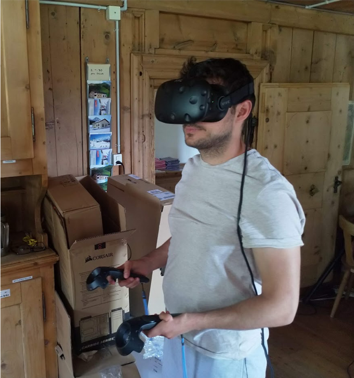
Combined point cloud and mesh models created with different methods, are rended into a virtual environment for demonstration.